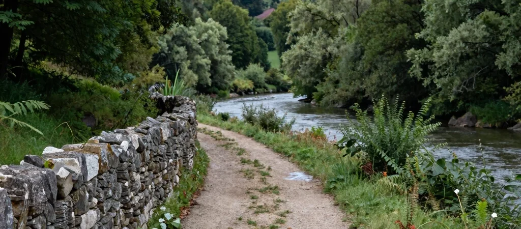
On a walk through an Auvézère valley, the river may hold your attention first. Then a track, a field boundary, or a change in the scale of a building shifts the view from scenery to lived landscape. The most rewarding route is not necessarily the one with the longest list of monuments; it is the one that gives you time to notice how places connect.
Choose a Manageable Loop
Before setting out, check a current map and confirm that the paths you plan to use are open to the public. A short walk with time to stop often reveals more than a hurried itinerary stitched together from distant points. Terrain, weather, and river conditions can change the practical character of a route, so leave room to adjust.
Notice More Than Monuments
Pause where the path offers a clear view of the river and its banks, then look for signs of how people have worked and moved through the valley. Stonework, crossings, field edges, and the position of a building may suggest useful questions, but they do not prove a date or function by themselves. Use site interpretation or reliable local documentation to distinguish observation from explanation.
Carry One Good Question
Pick a question to carry with you: where might water have been directed, how did a settlement connect to its fields, or what does a surviving tool reveal about a task? A notebook can hold quick sketches and questions without turning a walk into a research project. Return home with one thing you saw clearly and one thing you still need to verify; both are a good reason to keep exploring.